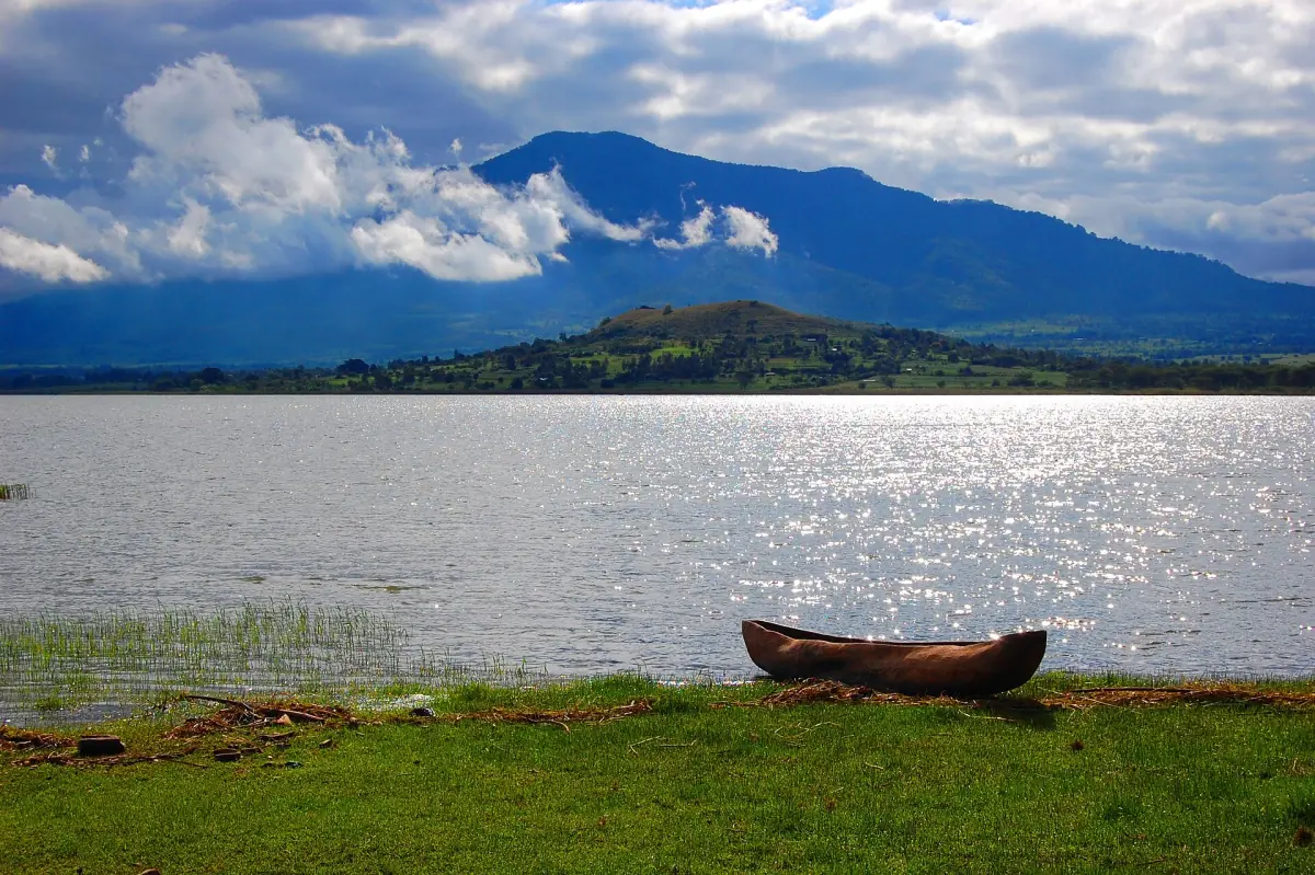
Babati at a glance
Babati is the seat of the regional administration of the Manyara Region, the same region where Tarangire National Park lies. At the 2022 census, the Babati Town Council had 129,572 residents, of whom 67,445 lived in the urban part and 62,127 in the rural part. Visitors usually come for the lake, for Mount Hanang or as a stop on a longer journey through northern Tanzania.
The town is not the place to book your game drives. For that, a Tarangire day trip or safari is the simpler way, and the page on getting to Tarangire from Arusha covers the road. The sections below explain what Babati itself offers.
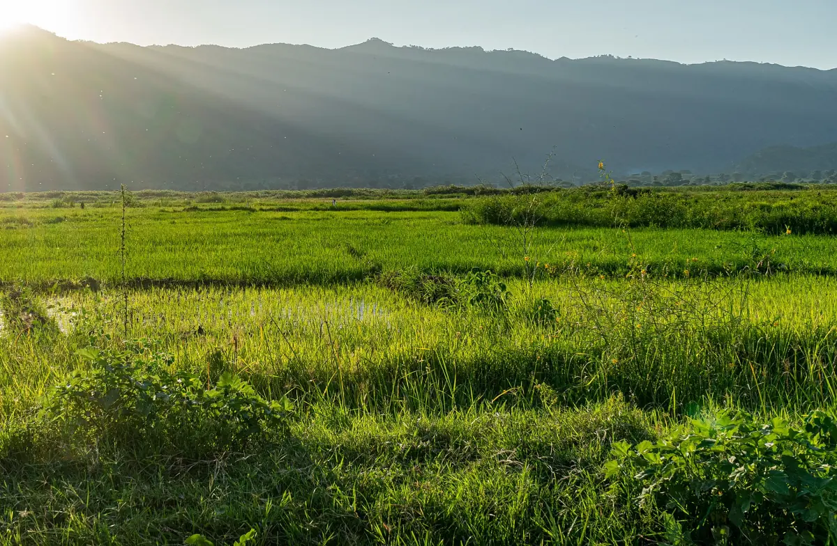
Our pick: Lake Babati day trip
The only tour here that goes to Lake Babati itself, with a boat ride in the programme.
Hand-picked tours, booked through GetYourGuide. Prices are indicative starting prices in US dollars (as of October 2026). Tap a tour for live availability and the current price in your currency.
Tarangire tours and day trips
Day trips, game drives and multi-day safaris to Tarangire National Park, with live prices and availability.
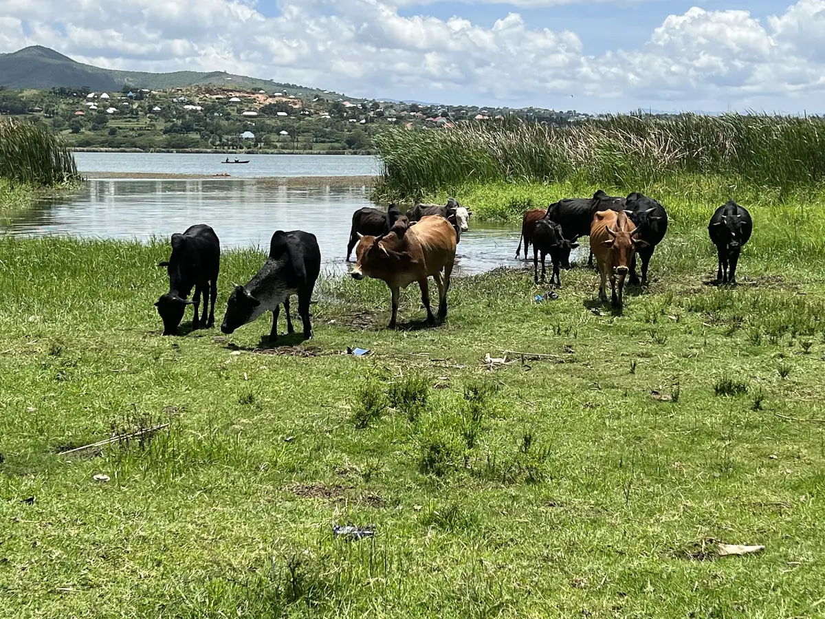
Lake Babati
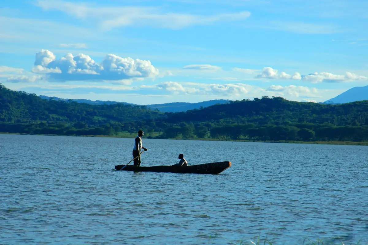
Lake Babati lies next to the town. Hippos live in the lake, and cattle graze in the wetland along its shore.
Treat the lake as a place to look at, not to swim in. Hippos can be dangerous, and there is no approved swimming spot to plan around. Do not confuse Lake Babati with Lake Burunge, a different lake in Babati District that is part of the Tarangire river system. You can read how the two fit together on our page about the Tarangire River and the Silale Swamp.
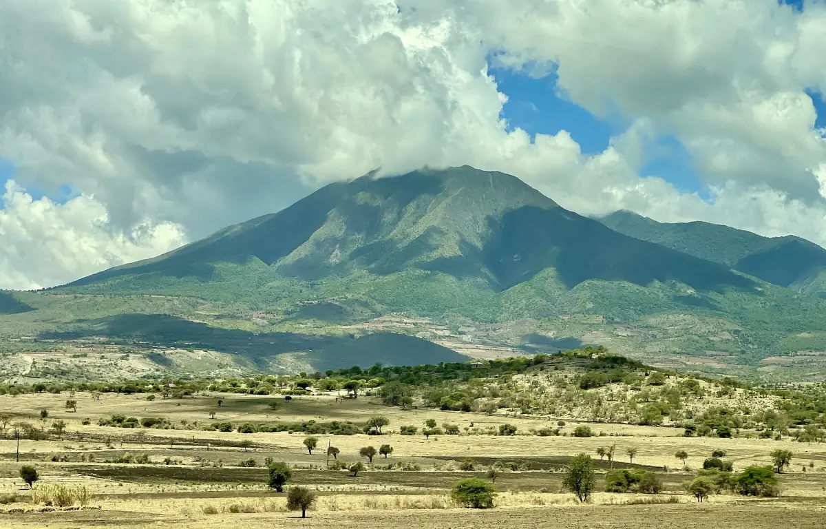
Mount Hanang
Mount Hanang is a mountain of about 3,400 to 3,450 metres. It rises above the plains of the Manyara Region near the town of Katesh in Hanang District, and it has its own nature forest reserve, which lies outside the national park. Trekking is the main activity. The road from Babati to Katesh is 68 kilometres, and from the bus station in Katesh to the main gate of the reserve it is 4 kilometres.
The mountain is also a cultural landscape. The mountain has cultural and sacred places for the Barbaig and Iraqw communities. Respect that: a hike does not give you free access to a sacred site, so go with a local guide and ask before you enter or photograph. Check the current rules and the day fee with the reserve before you plan an ascent.
Babati, Hanang, Burunge and Tarangire compared
Five places that are easy to mix up.
| Place | Where | What it is |
|---|---|---|
| Babati | Manyara Region | Regional town with Lake Babati at its edge |
| Lake Babati | Next to Babati | Lake with hippos and wetland shores |
| Mount Hanang | Near Katesh, Hanang District | Mountain over 3,400 m with its own forest reserve |
| Lake Burunge | Babati District | Lake on the northern course of the Tarangire River |
| Tarangire National Park | Manyara Region | 2,850 km² park, a national park since 1970 |
For most visitors, Tarangire is the reason for the trip, and Babati works as a stop on the way rather than a destination of its own. If you have an extra day, Mount Hanang is the bigger project and the lake the quick one.
Fitting Babati into your Tarangire trip
The distance from Babati to a Tarangire gate depends on which gate you use, so ask your operator before you plan a day around it. Many safaris start in Arusha, and Babati only comes into play if you travel on a longer route or want to see Hanang.
The seasons matter. The long dry season from June to October is when the Tarangire animals gather at the river, while the long rains from March to May make tracks soft. See the weather and best time to visit Tarangire for the details.
Babati: frequently asked questions
Where is Babati?
Babati is the seat of the regional administration of the Manyara Region in northern Tanzania, the same region as Tarangire National Park.
How big is Babati?
The Babati Town Council counted 129,572 residents at the 2022 census, with 67,445 in the urban part and 62,127 in the rural part. That is the 2022 census figure.
Are there hippos in Lake Babati?
Yes, hippos live in the lake. Keep your distance from the water and do not plan swimming or boat trips on your own.
How high is Mount Hanang?
It is about 3,400 to 3,450 metres high. It lies near Katesh in Hanang District, outside the national park.
Is Babati part of Tarangire National Park?
No. Babati is a town in the same region. Tarangire National Park, Lake Babati, Mount Hanang and Lake Burunge are separate places.